
 Menu
Menu
World Heritage Irrigation Structures
Shirakawa Basin Irrigation System
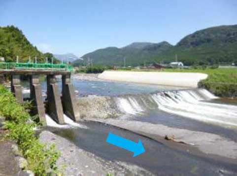
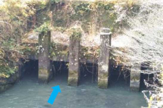
Profile; ?>Located in the Shirakawa River basin, in Kumamoto Prefecture, Japan, is hereby included in the ICID Register of World Heritage Irrigation Structures as an excellent example of adopting innovative idea of oblique weir for efficient water intake at normal times and flood mitigation and arrangements to prevent sedimentation of volcanic ash more than 400 years ago in the irrigation system which has been instrumental in enhanced rice production and groundwater recharge in the region.
HIGHLIGHTS
Country: Japan
Province: Kumamoto Prefecture
Latitude : 32.87477074 Longitude : 130.94313473
Built: 1606
Basin: Shirakawa River Basin
Irrigated Area: 1,230 ha
RECOGNIZED AT:
69th IEC Meeting, Saskatoon, Canada, 2018
