Menu
Menu
Kalingarayan Anicut and Kalingarayan Channel System
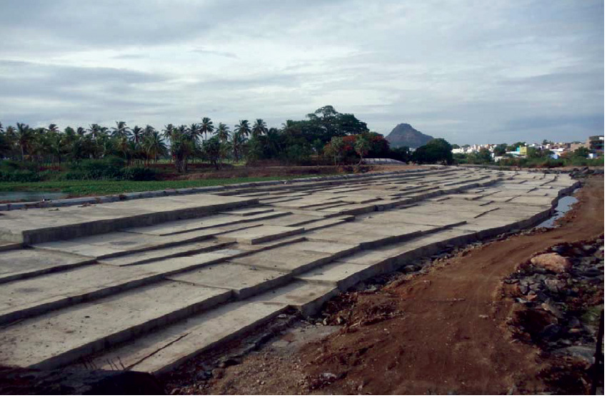
Profile; ?>The Kalingarayan channel in Erode Taluk is one of the oldest channels of the Bhavani River and it takes off from the right side of the Kalingarayan Anicut. The Kalingarayan Anicut is also the oldest Anicut constructed across the river Bhavani just above its confluence with river Cauvery near Bhavani town in 1285 AD ago in the pre-British era by one Kalingarayan Gounder a native chief. This is the second and the last Anicut across the river Bhavani below the Bhavanisagar Reservoir.
The Kalingarayan Anicut consists of three parts Main Anicut, Central Anicut and Murian Anicut. The main anicut consist of a length of 231 m, Central Anicut consists of a length of 260 m and the Murian Anicut consist of a length of 411 m. The maximum flood discharge of Kalingarayan Anicut is 126771 cusecs occurred on 09.12.1972. The High Flood Level of Anicut is +167.035. In sand vent, there are 3 vents the size of each vent is 6’x4’ + 2’ semi-circular arch and the sill level of the sand vent is +161.825 m.
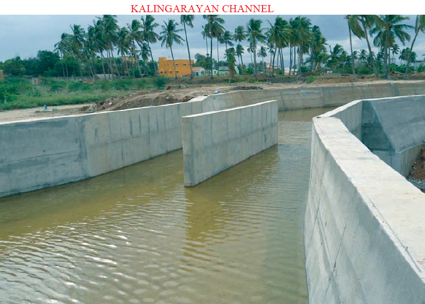
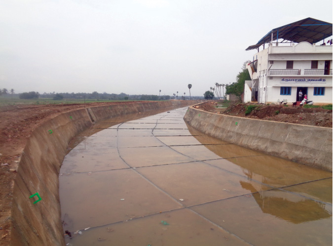
The Kalingarayan channel head sluice has a maximum discharging capacity of 584 cusecs in 6 vents the size of each vent is 5’10” x 4’6”. The sill level of the head sluice is +162.350 m. The Kalingarayan channel runs for 91 km and irrigates about 15743 Acres of land in Erode, Modakkuruchi and Kodumudi Taluks of Erode District. In the Kalingarayan channel, there are three branches namely the Malayampalayam branch, the Periyavattam branch and the Avudayarparai branch. The crops raised in the Kalingarayan channel ayacut areas are mainly wet crops such as paddy, Turmeric, Banana and Sugarcane.
- Length of the Main Anicut: 230.73 m (757 ft)
- Average Crest level: +164.93 m (541.13 ft)
- Length of Central Anicut: 260.3 m (854 ft)
- Average Crest level: +165.85 m (544.13 ft)
- Length of Murian Anicut: 411.48 m (1350 ft)
- Average Crest level: +165.475 m (542.9 ft)
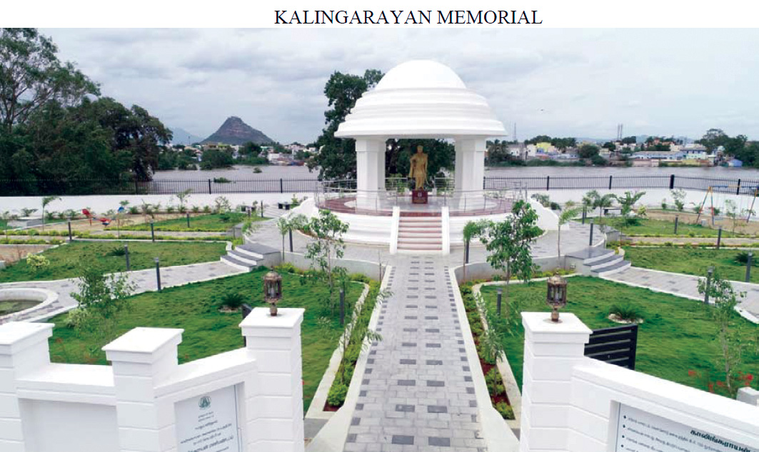
The Kalingarayan Anicut is one of the old Anicut of its kind. Only two anicut systems were in existence around 735 years back in the Bhavani River. In earlier days a provoking thought which created by the then local chieftain Mamannar. Kalingarayan Gounder, who constructed the anicut across river Bhavani. The width of anicut is 902m. A channel named the Kalingarayan channel takes off from the right bank of anicut to a length of 91 Km, which is an earthen channel. This channel serves an ayacut of 15743 Acres. The irrigation channel carries water for a period of 10½months in a year. This channel caters for the needs of nearly 4000 farmers. The Kalingarayan channel finally confluences in river Noyyal. It is one of the ancient rivers linking projects.
The anicut is located at LS 92 km from the Bhavanisagar Dam. Since the local farmers and public of the vicinity are treating this anicut as part and parcel of their livelihood, they all are of spiritual importance to the anicut. The anicut and channel serve well and fulfil the needs of the farming community efficiently. In the head reach of this channel from mile 0 km to 25 km, there are a lot of tanneries, dyeing industries and textile factories functioning near the right side of the Kalingarayan channel. These factories are either directly or indirectly discharging their effluents into this channel. The Erode Corporation domestic sewage water is also directly let out into the channel by residents dwelling nearby the channel. Due to this polluted water, the agriculture fields of this command are very much affected with the resulting yield of crops from these agriculture fields are going on decreasing year by year.
HIGHLIGHTS
Country: India
Province: Tamil Nadu
Latitude : 11?26 Longitude : 77?40
Built: 1285 AD
Basin: Cauvery Basin
Sub-Basin: Bhavani
Irrigated Area: 15,743 Acres
72nd IEC Meeting, Marrakesh, Morocco, 2021