Menu
Menu
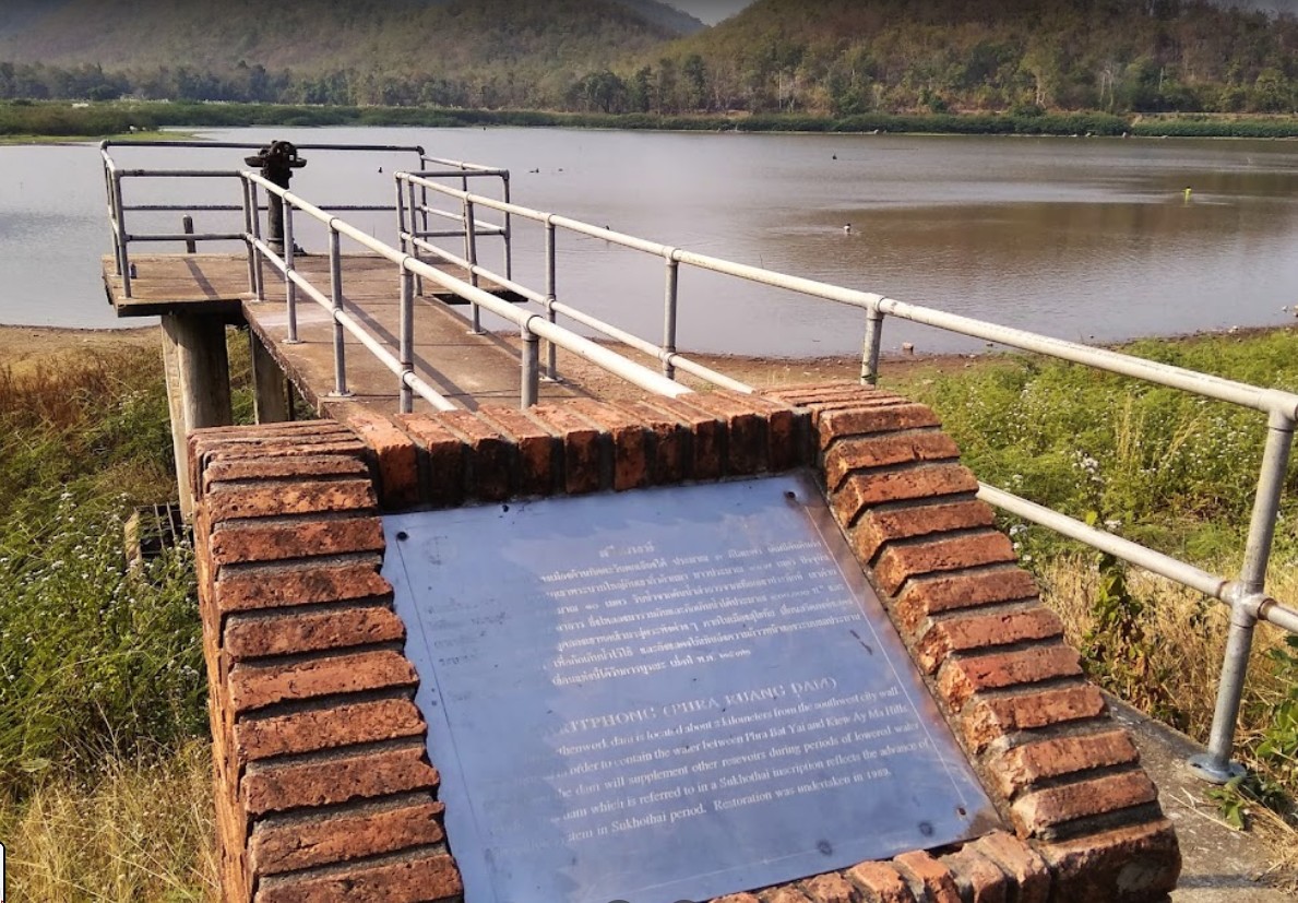
Sareadphong Dam
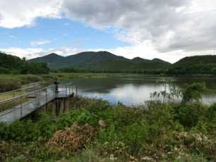
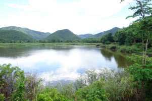
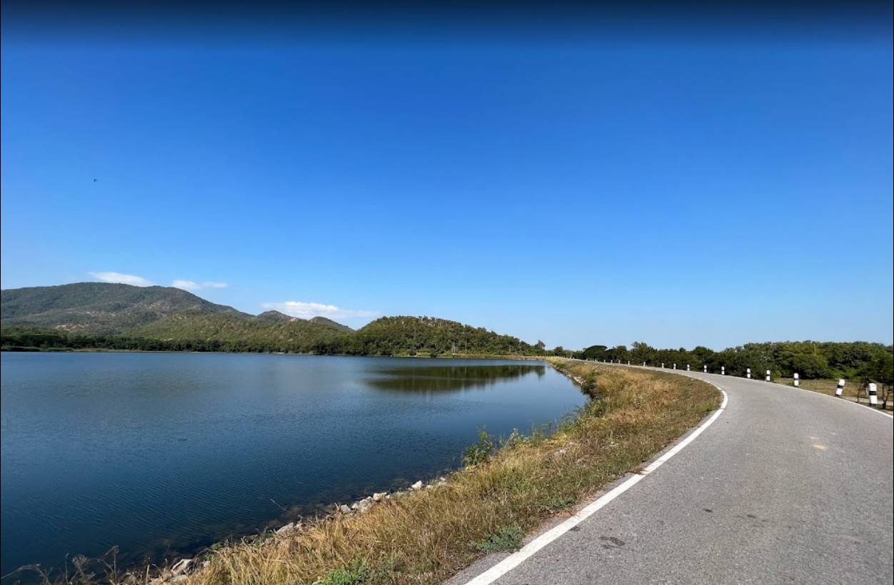
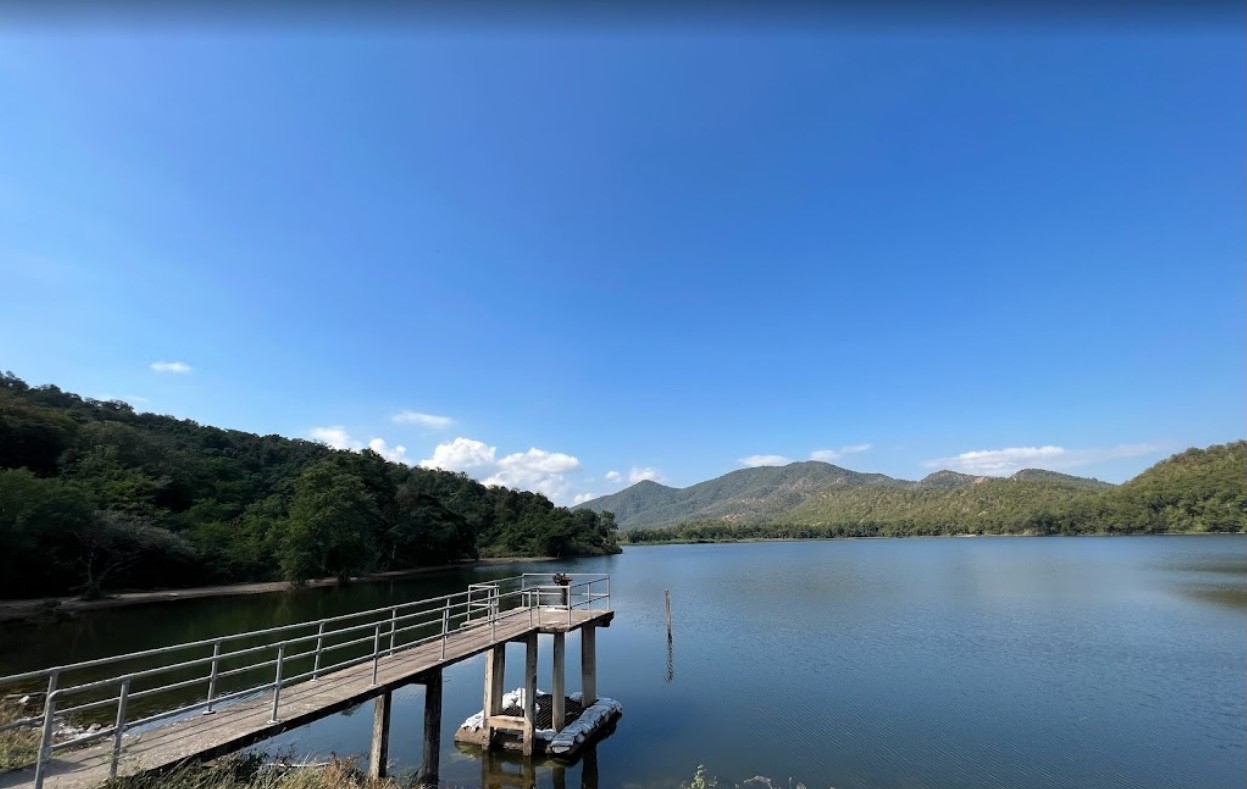
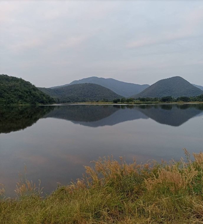
Profile; ?>The Sareadphong Dam and its dyke represent a milestone in development of irrigated agriculture and other use of water in ancient Thai history. With its large storage area at the time it was built, it could serve the water demand for ancient Sukothai City.
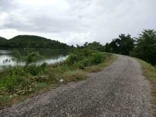
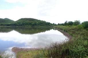
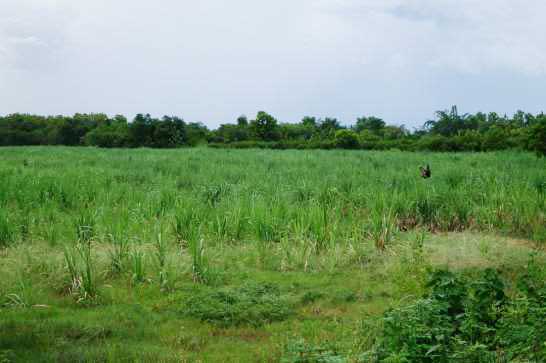
Sareadphong Dam and its dyke also used in conjunction with the motes and the city walls of Sukothai to protect the city from the enemy and also to direct the water which flow down from Khlong Sao Hor canal. Currently, the Sareadphong Dam and its dyke serve about 500 rai agricultural fields in 3 villages. Moreover it helps prevent and reduce the damage to the fields in the time of flood.
Dam and its dyke is one of the most long lasting ancient structures that are still in operation today.
HIGHLIGHTS
Country: Thailand
Province:
Latitude : 0572122 Longitude : 1880200
Built: 1314
River: Mae Yom Basin
Sub-Basin: Mae Lam Pan
Irrigated Area: 197.5 Acre
66th IEC Meeting, Montpellier, France, 2015