Menu
Menu
Lougang Irrigation and Drainage System of Taihu Lake Basin
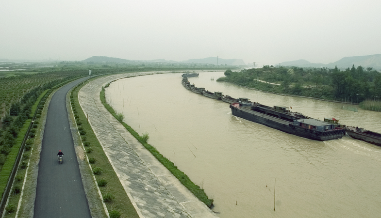
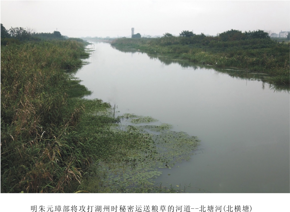
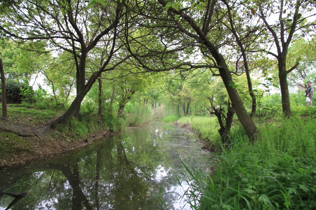
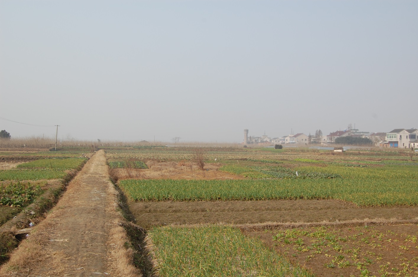
Profile; ?>Lougang is the unique irrigation and drainage system in the plain beside Taihu Lake of China where the multi-year mean rainfall is 1,200mm and it comprises the canal system, the water gates and the embankments for water drainage, irrigation and waterway transport purposes. This project was initially constructed 2500 years ago and started with the excavation of ditches for water drainage and construction of embankments for farmland protection at the low-lying area close to the Taihu Lake. With the continual constructions later on, the canals here were connected to natural rivers and ponds and controlled by sluice gates to constitute part of an irrigation system. Today, Huzhou is the only place with the complete relics of Lougang in the Taihhu Plain. The Lougang system of Taihu Lake has a farmland irrigation area of about 420,000 mu (28,000 hectares) and a drainage area of about 44,000 hectares. It has warm and humid climates here and the crops have a long growing period. The farmlands need irrigation with water from the Lougang system throughout the year. However, the Lougang system mainly works for flood drainage during the flood season from June to September each year. The excavation and maintenance of Lougang system and the land improvement work promote each other so that the area where the Lougang system is located becomes an important growing base of paddy rice. People plant mulberries on the embankment-protected lands and thus raise silkworms in a large scale other than grain production, hence turning this place into production base of silk in China.
The development of Lougang polder lands dates back to about the 3rd century B.C. when people started to build embankments and cross ponds on the mudflats of the Taihu Lake. The construction of such cross ponds led to the creation of a comparatively independent area of polder lands and their irrigation and drainage canal system. This system started to develop and flourish in the southern area of China in the Tang and Song Dynasties (from 800 to 1100 A.D.). Under population pressure, the Lougang system came into being around the Taihu Lake and laid a solid foundation for the development of regional agriculture. In the Yuan, Ming and Qing Dynasties (from 13th to 19th century), it became the main grain and silk production base of China due to well-established irrigation and drainage system here. From the 10th century on, the local government started to participate in administration of Lougang system by raising operating funds for the project while the local farmers contributed their labors and participated in waterway dredging and embankment maintenance under the government' organization. Such an administrative mode involving both government and residents has been preserved until today.
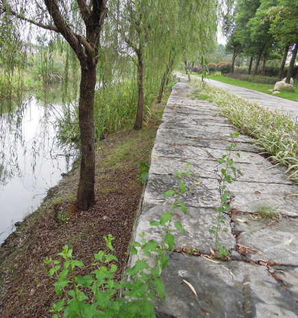
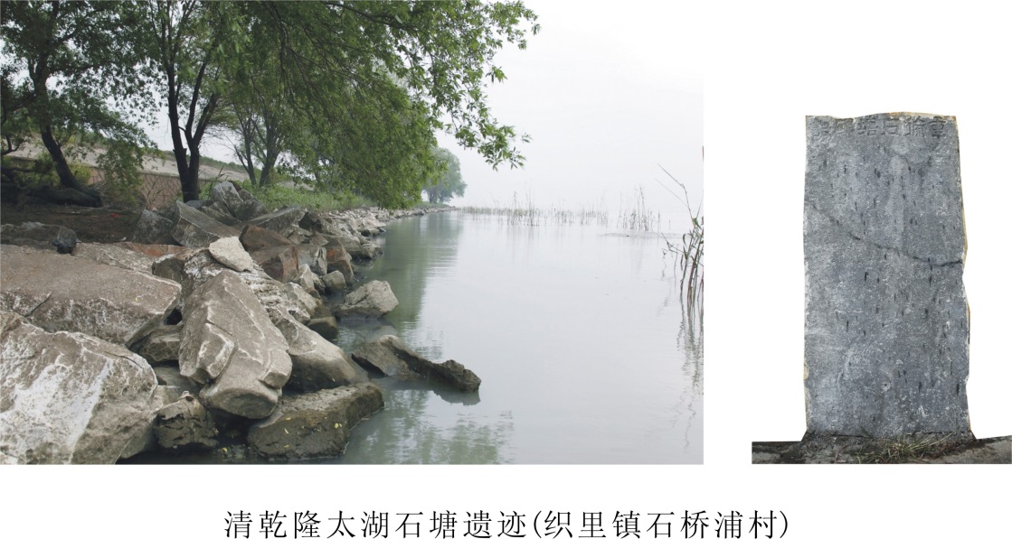
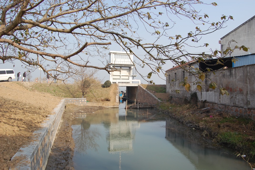
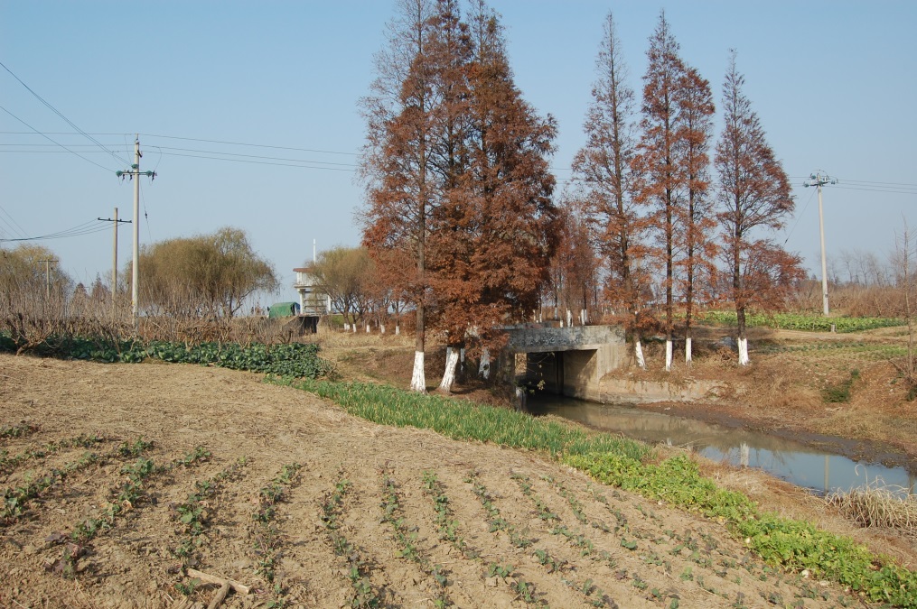
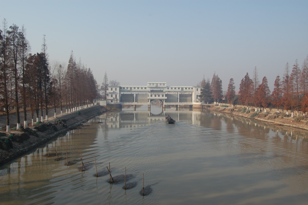
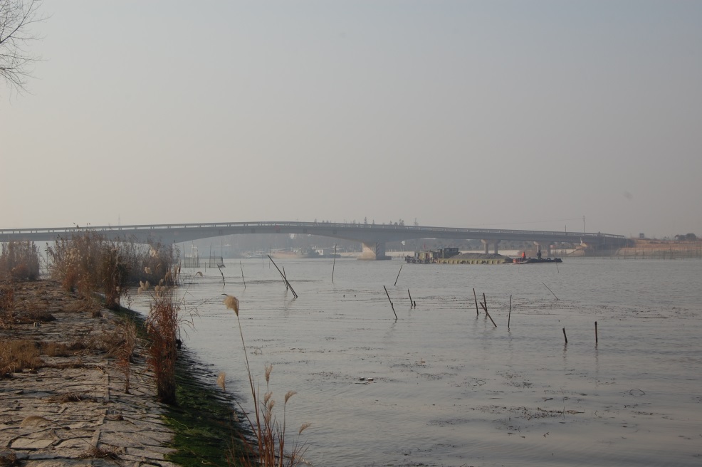
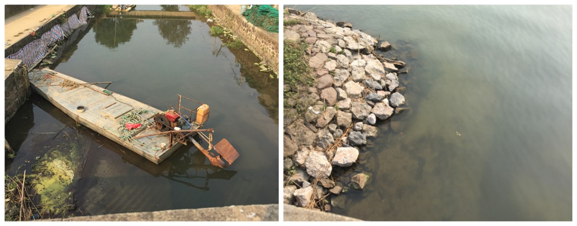
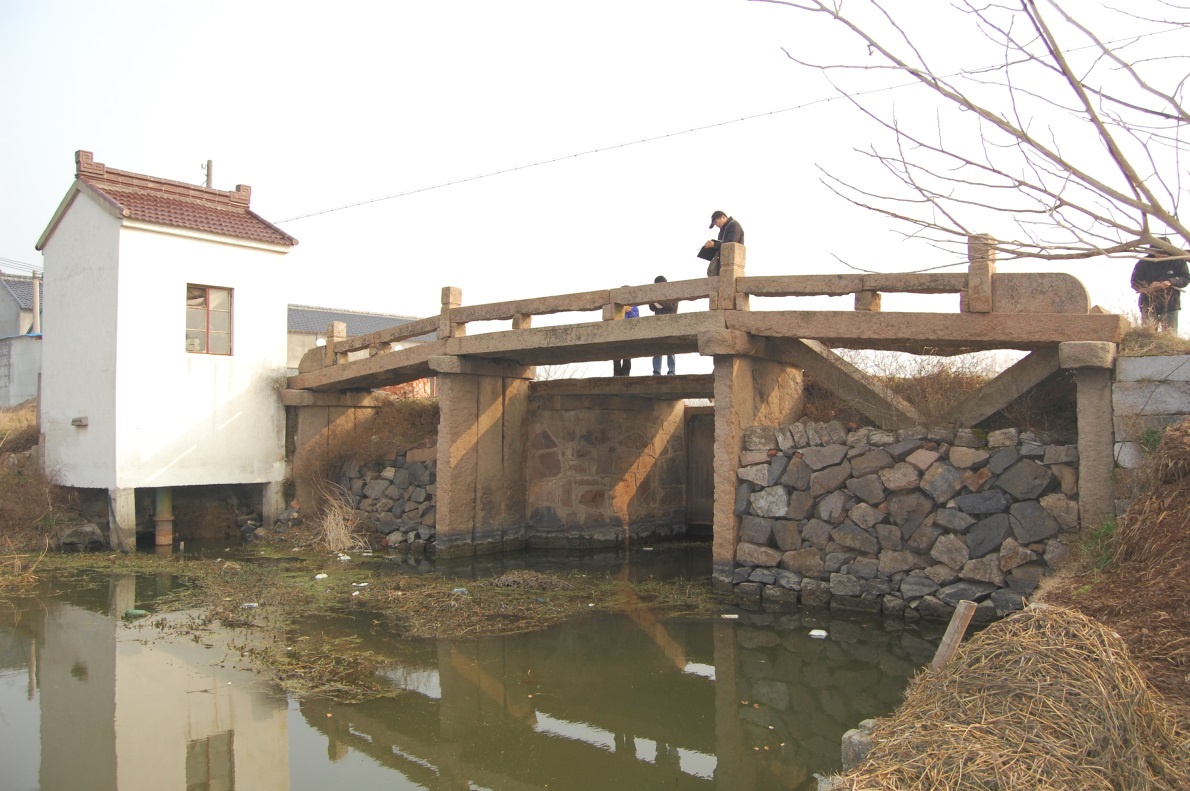
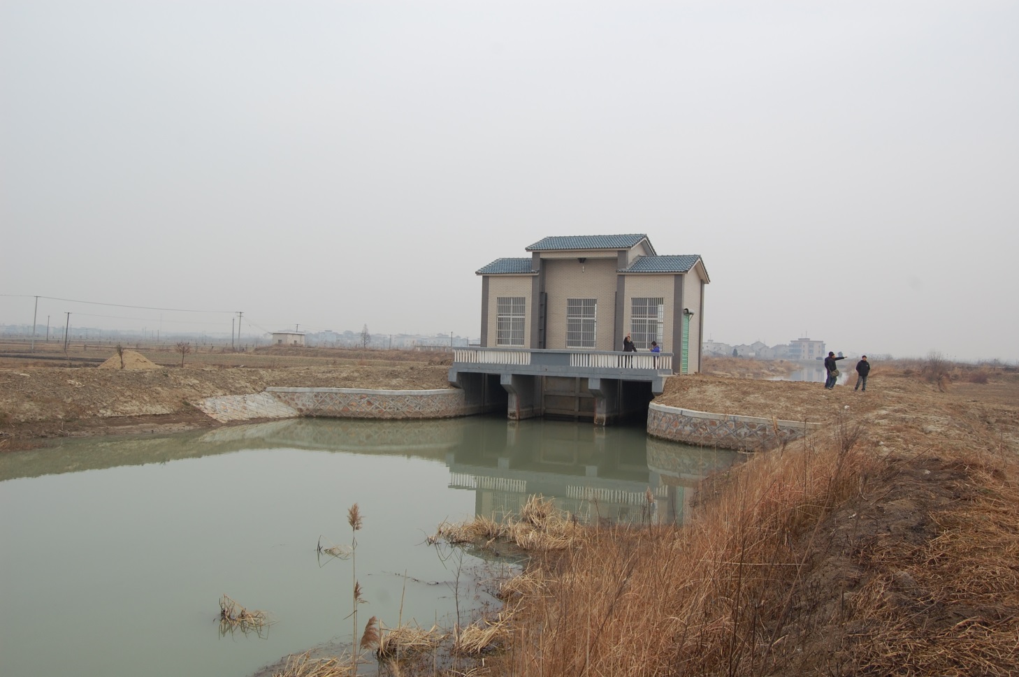
Taihu Lougang heritage comprises four parts: Taihu embankment project, Lougang pond system, polder system and relevant other heritages (including the ancient bridges, banks, polders, etc that witnessed the history of Lougang). The embankments of Taihu Lake are about 65km long within Huzhou. There are 3 cross ponds and 73 Lougangs of historic value in this region. The system that has cross ponds as the latitude and Lougang as the longitude is the principal part of this heritage. The irrigation area has paddy rice planting and silkworm raising as the main industries. There are also 16 lakes between the cross ponds and longitudinal lougangs as well as gates, sluices, sluice gates and other control works, including 23 main control water gates on Lougang. Lakes are extensive water areas between cross ponds and longitudinal lougangs and they are important water catchments and ecological wetlands along Taihu Lake. Lougang polder lands have an area of some tens of Mu to one thousand Mu normally. Various polder lands have well-established water canals, inner ferries, outer ferries and pump stations. Other relevant irrigational heritages primarily include the ancient bridges on Lougang, the water god temples preserved near the sluice gates of various Lougangs and the sacrificial events relating to water affairs.
Management is the base for continuation of Lougang. It was governed by a civilian organization in the beginning. Since the 10th century, governmental administration has played an essential role and a stringent administrative system has been established. Governments of various dynasties were all liable for organizing the construction and maintenance of Lougang, culverts, water gates and trunk canals and compilation of regulations. Project and irrigation management was jointly conducted by the government and civilian organizations. There were civilian dredging organizations and thus the production mode combining irrigation management and farming management as well as unique folk customs, festival celebration modes and water god worship events were created. Currently, there are three levels of administrations for Lougang, including the provincial, municipal and county-level administration. The routine management and maintenance expenses are paid from the local treasury.
Lougang is a paradigm of irrigation projects in China. It was constructed in the Spring and Autumn Period and has remained in operation for 2,000+ years. It has a reasonable layout and ingenious design and the ancient engineering structure has been basically preserved until today. It irrigates the vast sprawl of farmlands in Taihu region and has played an irreplaceable role in promoting the local social development, economic prosperity and resistance to natural disasters in Huzhou. In the past 2,000+ years, Lougang has played an important role in irrigation through the civilian-government joint management mode. As a result, Huzhou has become a typical farming area with regional characteristics and the irrigation-based social organization, production and living mode and cultural traditions have been well preserved until today.
HIGHLIGHTS
Country: China
Province:
Latitude : N 31o 7.409818' Longitude : E 120o 17.028809'
Built:
Irrigated Area: 28,000 ha
67th IEC Meeting, Chiang Mai, Thailand, 2016